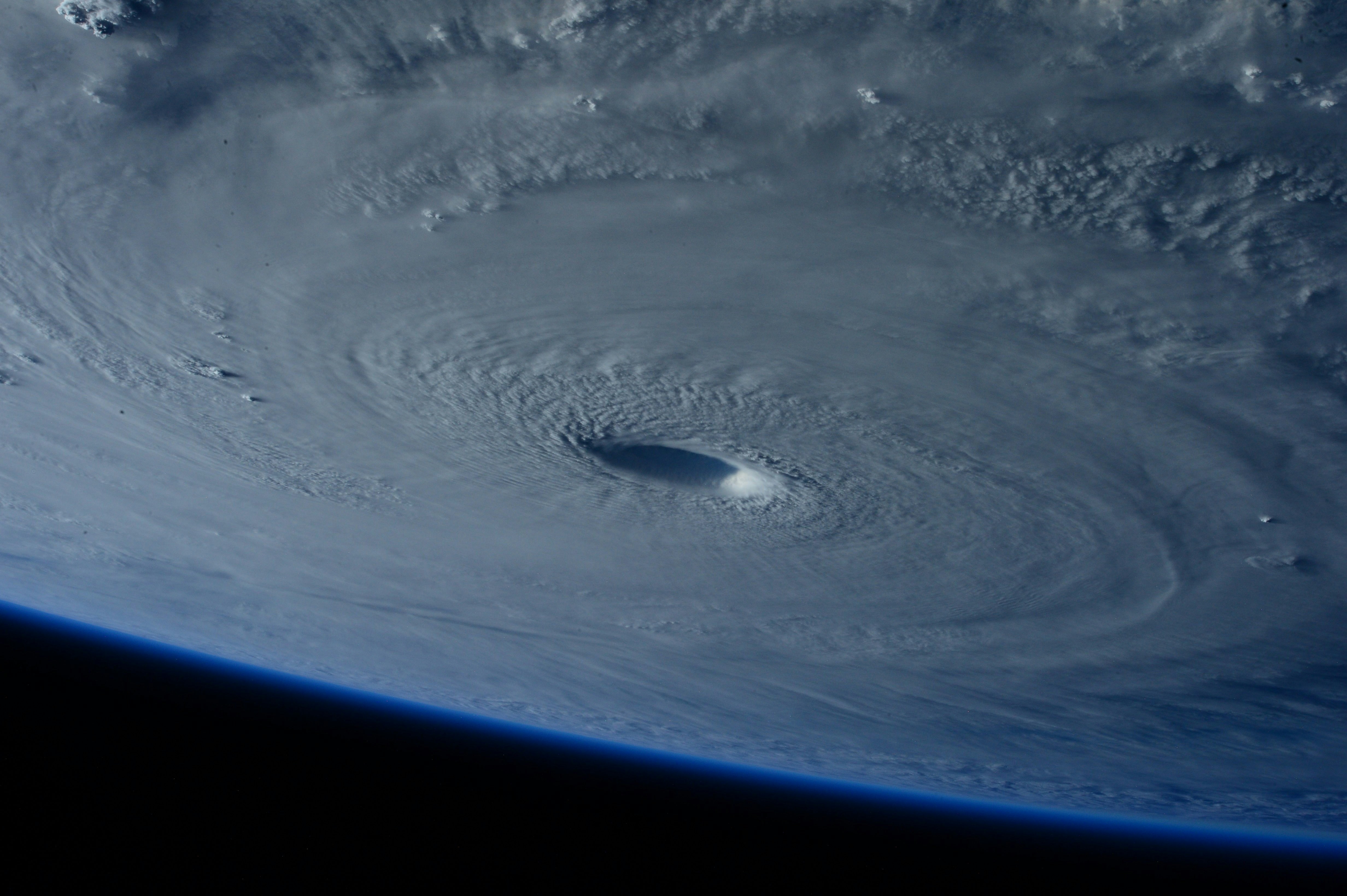
Footage from 27 March shows a red sky in Western Australia’s Shark Bay ahead of the arrival of a Tropical Cyclone Narelle, partially thanks to copious amounts of iron-rich dirt picked up by the storm from the country’s dusty interior. When it crossed the Western Australian coast on Friday afternoon, Cyclone Narelle became the first storm system in over 20 years to make landfall in three of Australia’s states and territories
Share this:
Introduction to Cyclone Narelle
The recent footage from March 27 showcases a dramatic red sky over Shark Bay in Western Australia, signaling the impending arrival of Tropical Cyclone Narelle. This extraordinary weather pattern stems from an influx of iron-rich dirt lifted from the Australian interior, leading to a vibrant atmospheric display. Cyclone Narelle made history by becoming the first storm system in over two decades to impact three of Australia’s states and territories simultaneously, underscoring the severe nature of this meteorological event.
The Impact of Iron-Rich Dirt
As Cyclone Narelle approached, the accumulation of dust particles, particularly those high in iron content, contributed to the striking visual phenomena observed in the skies. This dusty haze not only altered the horizon but also played a significant role in atmospheric conditions surrounding the cyclone. The rich mineral content of the dust is known to affect weather and climate patterns, illustrating the intricate connections between terrestrial and atmospheric phenomena.
Historical Significance of the Event
The cyclonic activity that unfolded with Narelle marks a noteworthy chapter in Australia’s meteorological history. Crossing the western coastline on Friday afternoon, Cyclone Narelle’s landfall ignited conversations among meteorologists and residents alike, given its historical significance. With its extensive reach affecting multiple states, such events shed light on climate change impacts and the potential for more frequent severe weather instances in the region, raising awareness of the need for preparedness and resilience.
About the Author
Discover more from NMtv
Subscribe to get the latest posts sent to your email.